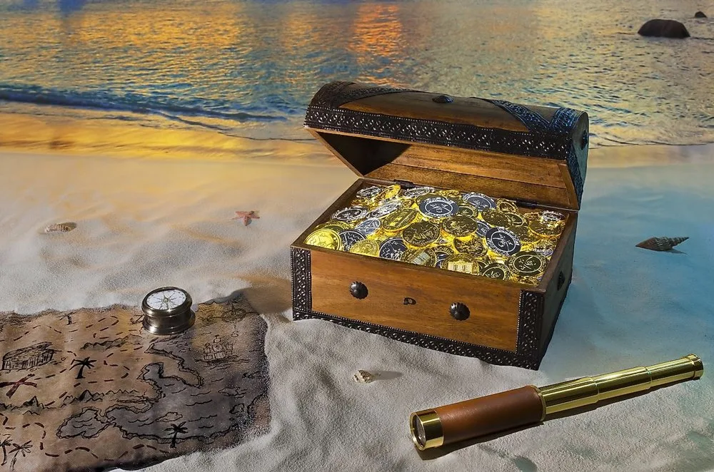
01Start point: treasurehunttrip.jpg from MediaFire.
What I found: a stock-style photo of a treasure map scene. Nothing in the picture itself names a place.
treasurehunttrip.jpg
02Pivot: the image's metadata.
Result: the JPEG comment says "If you're looking here, then you've searched yourself into a wrong hole."
Thinking: this is the author telling you the metadata/stego path is a decoy. I confirmed it by matching the photo to its stock original (pixel-identical) and running steghide, which found nothing. So the answer isn't hidden in the file; it has to come from the brief.
The "wrong hole" JPEG comment
03Pivot: re-reading the brief.
What I found: the challenge is tagged OSINT, it says "I don't know if 3 words would even suffice", and it asks for "Coordinate Type: DMS convert from LeadNo deg TrailNo".
Thinking: "3 words" + coordinates = what3words, which names every 3 m square with three words. The only three words the challenge gives are in the file name: treasure / hunt / trip.
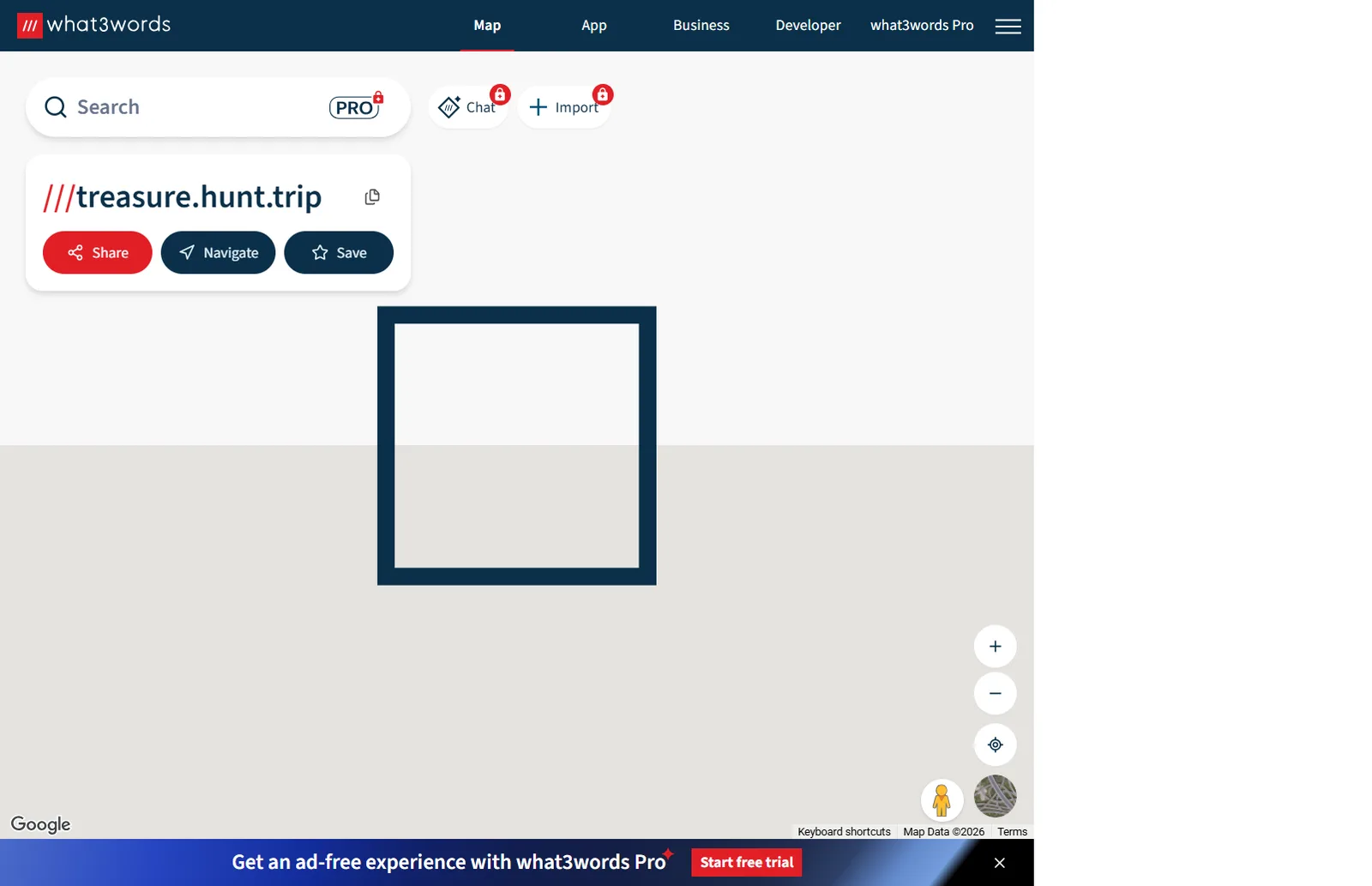
04Pivot: ///treasure.hunt.trip on what3words.
Result: a square at -85.600191, -81.091278, in Antarctica (the map shows nothing there, which is expected).
///treasure.hunt.trip
05Pivot: converting to the requested format.
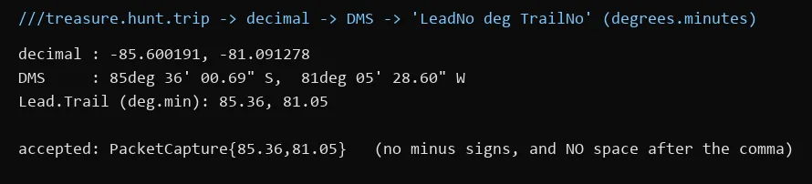
What I did: converted the decimal coordinates to DMS (degrees, minutes, seconds): 85deg 36' 00.69" S, 81deg 05' 28.60" W.
Thinking: "LeadNo deg TrailNo" means the number before the degree sign (degrees) and the number right after it (minutes), written as degrees.minutes: 85.36 and 81.05.
Dead ends:
PacketCapture{-85.60, -81.09} (decimal degrees rounded) was rejected: the brief asks for DMS, not decimal.
The format shown in the brief, PacketCapture{00.00, 00.00}, has a space after the comma, but the accepted flag has no space and no minus signs.